
清水区 topographic map
Interactive map
Click on the map to display elevation.
About this map
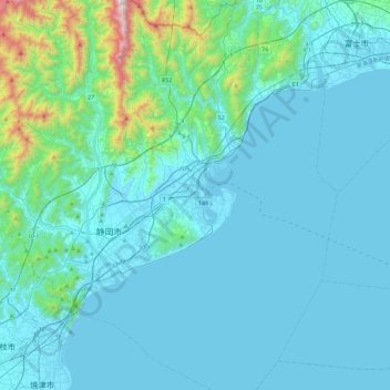
Name: 清水区 topographic map, elevation, terrain.
Location: 清水区, 静岡市, 静岡県, 424-8701, 日本 (34.82475 138.39538 35.20293 138.65395)
Average elevation: 152 m
Minimum elevation: -1 m
Maximum elevation: 1,531 m
Other topographic maps
Click on a map to view its topography, its elevation and its terrain.