
井川ダム topographic map
Interactive map
Click on the map to display elevation.
About this map
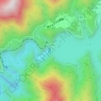
Name: 井川ダム topographic map, elevation, terrain.
Location: 井川ダム, 井川, 葵区, 静岡市, 静岡県, 420-8602, 日本 (35.20924 138.22181 35.21121 138.22295)
Average elevation: 795 m
Minimum elevation: 538 m
Maximum elevation: 1,327 m
Other topographic maps
Click on a map to view its topography, its elevation and its terrain.