
マンノ一沢頭 topographic map
Interactive map
Click on the map to display elevation.
About this map
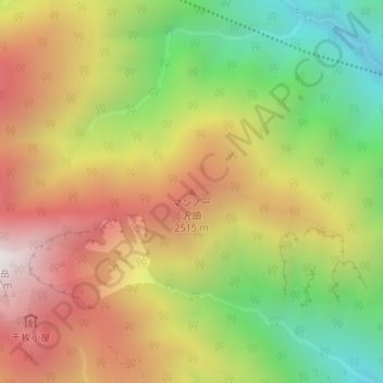
Name: マンノ一沢頭 topographic map, elevation, terrain.
Location: マンノ一沢頭, 静岡市, 静岡県, 420-8602, 日本 (35.50215 138.21444 35.50225 138.21454)
Average elevation: 2,159 m
Minimum elevation: 1,474 m
Maximum elevation: 2,845 m
Other topographic maps
Click on a map to view its topography, its elevation and its terrain.