
畑薙湖 topographic map
Interactive map
Click on the map to display elevation.
About this map
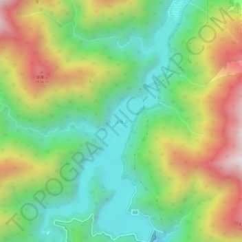
Name: 畑薙湖 topographic map, elevation, terrain.
Location: 畑薙湖, 静岡市, 静岡県, 420-8602, 日本 (35.32053 138.15934 35.36265 138.18916)
Average elevation: 1,306 m
Minimum elevation: 851 m
Maximum elevation: 2,027 m
Other topographic maps
Click on a map to view its topography, its elevation and its terrain.