
徳右衛門岳 topographic map
Interactive map
Click on the map to display elevation.
About this map
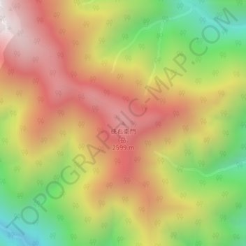
Name: 徳右衛門岳 topographic map, elevation, terrain.
Location: 徳右衛門岳, 静岡市, 静岡県, 420-8602, 日本 (35.53937 138.22640 35.53947 138.22650)
Average elevation: 2,194 m
Minimum elevation: 1,602 m
Maximum elevation: 2,718 m
Other topographic maps
Click on a map to view its topography, its elevation and its terrain.