
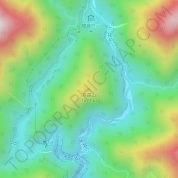
鳥森山 topographic map
Interactive map
Click on the map to display elevation.
About this map
Name: 鳥森山 topographic map, elevation, terrain.
Location: 鳥森山, 静岡市, 静岡県, 420-8602, 日本 (35.42042 138.20710 35.42052 138.20720)
Average elevation: 1,336 m
Minimum elevation: 1,057 m
Maximum elevation: 1,916 m
Other topographic maps
Click on a map to view its topography, its elevation and its terrain.