
イザルヶ岳 topographic map
Interactive map
Click on the map to display elevation.
About this map
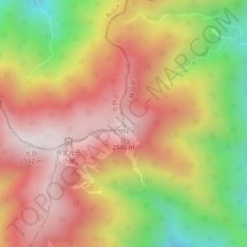
Name: イザルヶ岳 topographic map, elevation, terrain.
Location: イザルヶ岳, 静岡市, 静岡県, 420-8602, 日本 (35.34046 138.09611 35.34056 138.09621)
Average elevation: 2,153 m
Minimum elevation: 1,608 m
Maximum elevation: 2,564 m
Other topographic maps
Click on a map to view its topography, its elevation and its terrain.