
西農鳥岳 topographic map
Interactive map
Click on the map to display elevation.
About this map
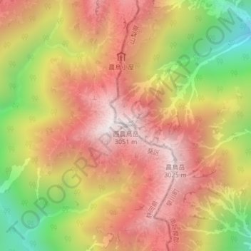
Name: 西農鳥岳 topographic map, elevation, terrain.
Location: 西農鳥岳, 静岡市, 静岡県, 420-8602, 日本 (35.62470 138.23028 35.62480 138.23038)
Average elevation: 2,608 m
Minimum elevation: 2,003 m
Maximum elevation: 3,039 m
Other topographic maps
Click on a map to view its topography, its elevation and its terrain.