
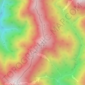
新蛇抜山 topographic map
Interactive map
Click on the map to display elevation.
About this map
Name: 新蛇抜山 topographic map, elevation, terrain.
Location: 新蛇抜山, 静岡市, 静岡県, 420-8602, 日本 (35.60712 138.20528 35.60722 138.20538)
Average elevation: 2,296 m
Minimum elevation: 1,767 m
Maximum elevation: 2,683 m
Other topographic maps
Click on a map to view its topography, its elevation and its terrain.