
中盛丸山 topographic map
Interactive map
Click on the map to display elevation.
About this map
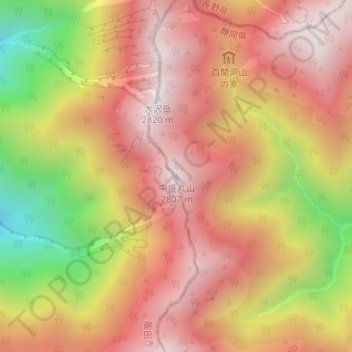
Name: 中盛丸山 topographic map, elevation, terrain.
Location: 中盛丸山, 静岡市, 静岡県, 420-8602, 日本 (35.44276 138.12194 35.44286 138.12204)
Average elevation: 2,412 m
Minimum elevation: 1,807 m
Maximum elevation: 2,785 m
Other topographic maps
Click on a map to view its topography, its elevation and its terrain.