
畑薙第一ダム topographic map
Interactive map
Click on the map to display elevation.
About this map
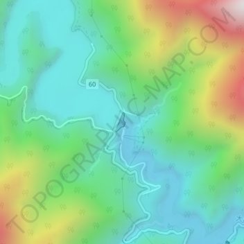
Name: 畑薙第一ダム topographic map, elevation, terrain.
Location: 畑薙第一ダム, 葵区, 静岡市, 静岡県, 420-8602, 日本 (35.32038 138.18282 35.32254 138.18419)
Average elevation: 1,173 m
Minimum elevation: 844 m
Maximum elevation: 1,968 m
Other topographic maps
Click on a map to view its topography, its elevation and its terrain.