
田代ダム topographic map
Interactive map
Click on the map to display elevation.
About this map
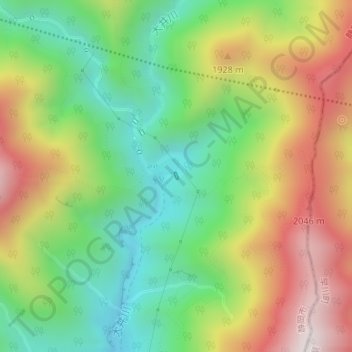
Name: 田代ダム topographic map, elevation, terrain.
Location: 田代ダム, 葵区, 静岡市, 静岡県, 420-8602, 日本 (35.49850 138.24637 35.49899 138.24669)
Average elevation: 1,699 m
Minimum elevation: 1,335 m
Maximum elevation: 2,192 m
Other topographic maps
Click on a map to view its topography, its elevation and its terrain.