
十枚山 topographic map
Interactive map
Click on the map to display elevation.
About this map
Name: 十枚山 topographic map, elevation, terrain.
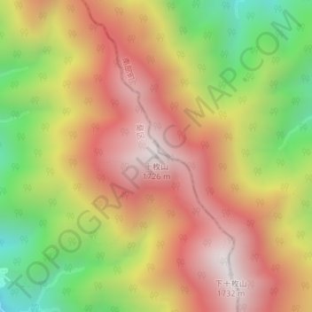
Location: 十枚山, 静岡市, 静岡県, 420-8602, 日本 (35.25359 138.37791 35.25369 138.37801)
Average elevation: 1,231 m
Minimum elevation: 646 m
Maximum elevation: 1,703 m
十枚山(じゅうまいさん)は、山梨県南巨摩郡南部町と静岡県静岡市葵区にまたがる山である。標高1,726mの上十枚山と、1,732mの下十枚山からなる双耳峰だが、国土地理院の地形図では上十枚山を十枚山としている。
Other topographic maps
Click on a map to view its topography, its elevation and its terrain.