
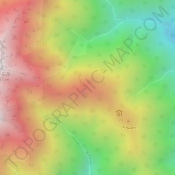
富士見平 topographic map
Interactive map
Click on the map to display elevation.
About this map
Name: 富士見平 topographic map, elevation, terrain.
Location: 富士見平, 東俣林道, 葵区, 静岡市, 静岡県, 420-8602, 日本 (35.46439 138.17650 35.46449 138.17660)
Average elevation: 2,357 m
Minimum elevation: 1,645 m
Maximum elevation: 3,064 m
Other topographic maps
Click on a map to view its topography, its elevation and its terrain.