
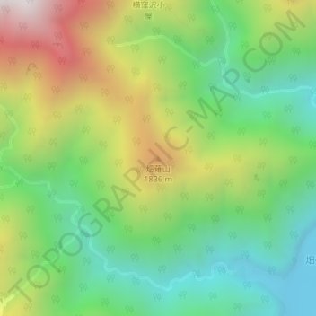
畑薙山 topographic map
Interactive map
Click on the map to display elevation.
About this map
Name: 畑薙山 topographic map, elevation, terrain.
Location: 畑薙山, 静岡市, 静岡県, 420-8602, 日本 (35.35012 138.15982 35.35022 138.15992)
Average elevation: 1,434 m
Minimum elevation: 925 m
Maximum elevation: 2,262 m
Other topographic maps
Click on a map to view its topography, its elevation and its terrain.