
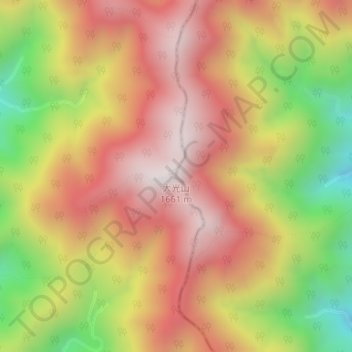
大光山 topographic map
Interactive map
Click on the map to display elevation.
About this map
Name: 大光山 topographic map, elevation, terrain.
Location: 大光山, 静岡市, 静岡県, 420-8602, 日本 (35.28044 138.36666 35.28054 138.36676)
Average elevation: 1,267 m
Minimum elevation: 757 m
Maximum elevation: 1,647 m
Other topographic maps
Click on a map to view its topography, its elevation and its terrain.