
小無間山 topographic map
Interactive map
Click on the map to display elevation.
About this map
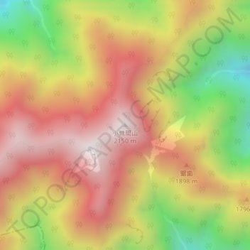
Name: 小無間山 topographic map, elevation, terrain.
Location: 小無間山, 静岡市, 静岡県, 420-8602, 日本 (35.27076 138.18925 35.27086 138.18935)
Average elevation: 1,686 m
Minimum elevation: 1,097 m
Maximum elevation: 2,136 m
Other topographic maps
Click on a map to view its topography, its elevation and its terrain.