
前白根山 topographic map
Interactive map
Click on the map to display elevation.
About this map
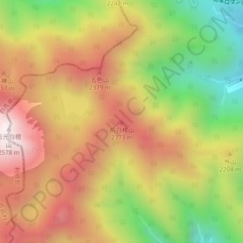
Name: 前白根山 topographic map, elevation, terrain.
Location: 前白根山, 日光市, 栃木県, 日本 (36.79932 139.39158 36.79942 139.39168)
Average elevation: 2,122 m
Minimum elevation: 1,613 m
Maximum elevation: 2,566 m
Other topographic maps
Click on a map to view its topography, its elevation and its terrain.