
五十里湖 topographic map
Interactive map
Click on the map to display elevation.
About this map
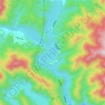
Name: 五十里湖 topographic map, elevation, terrain.
Location: 五十里湖, 日光市, 栃木県, 日本 (36.90290 139.67127 36.94904 139.70735)
Average elevation: 771 m
Minimum elevation: 550 m
Maximum elevation: 1,177 m
Other topographic maps
Click on a map to view its topography, its elevation and its terrain.