
箒沢 topographic map
Interactive map
Click on the map to display elevation.
About this map
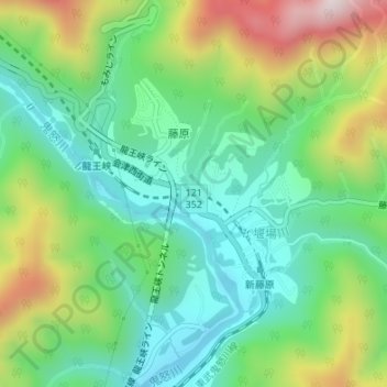
Name: 箒沢 topographic map, elevation, terrain.
Location: 箒沢, 藤原, 日光市, 栃木県, 321‒2526, 日本 (36.85792 139.72679 36.85829 139.72704)
Average elevation: 572 m
Minimum elevation: 379 m
Maximum elevation: 954 m
Other topographic maps
Click on a map to view its topography, its elevation and its terrain.