
ネベ沢川 topographic map
Interactive map
Click on the map to display elevation.
About this map
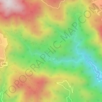
Name: ネベ沢川 topographic map, elevation, terrain.
Location: ネベ沢川, 日光市, 栃木県, 日本 (36.83530 139.62623 36.84141 139.64703)
Average elevation: 895 m
Minimum elevation: 543 m
Maximum elevation: 1,278 m
Other topographic maps
Click on a map to view its topography, its elevation and its terrain.