
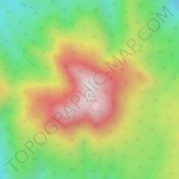
太郎山 topographic map
Interactive map
Click on the map to display elevation.
About this map
Name: 太郎山 topographic map, elevation, terrain.
Location: 太郎山, 日光市, 栃木県, 日本 (36.81785 139.48275 36.81795 139.48285)
Average elevation: 1,880 m
Minimum elevation: 1,496 m
Maximum elevation: 2,329 m
太郎山(たろうさん)は、栃木県日光市にある標高2,368mの火山。日本三百名山のひとつ。
Other topographic maps
Click on a map to view its topography, its elevation and its terrain.