
川俣湖 topographic map
Interactive map
Click on the map to display elevation.
About this map
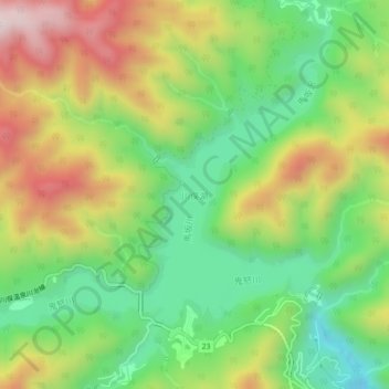
Name: 川俣湖 topographic map, elevation, terrain.
Location: 川俣湖, 日光市, 栃木県, 日本 (36.87095 139.47950 36.90263 139.52396)
Average elevation: 1,102 m
Minimum elevation: 843 m
Maximum elevation: 1,456 m
Other topographic maps
Click on a map to view its topography, its elevation and its terrain.