
今市ダム topographic map
Interactive map
Click on the map to display elevation.
About this map
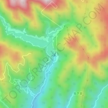
Name: 今市ダム topographic map, elevation, terrain.
Location: 今市ダム, 日光市, 栃木県, 日本 (36.82492 139.66563 36.82601 139.66708)
Average elevation: 663 m
Minimum elevation: 453 m
Maximum elevation: 963 m
Other topographic maps
Click on a map to view its topography, its elevation and its terrain.