
鬼怒川 topographic map
Interactive map
Click on the map to display elevation.
About this map
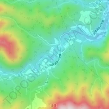
Name: 鬼怒川 topographic map, elevation, terrain.
Location: 鬼怒川, 日光市, 栃木県, 日本 (36.87190 139.63287 36.87451 139.63553)
Average elevation: 801 m
Minimum elevation: 614 m
Maximum elevation: 1,195 m
Other topographic maps
Click on a map to view its topography, its elevation and its terrain.