
五十里ダム topographic map
Interactive map
Click on the map to display elevation.
About this map
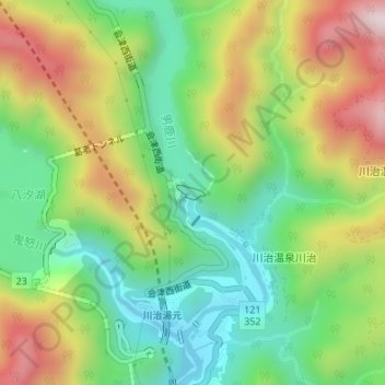
Name: 五十里ダム topographic map, elevation, terrain.
Location: 五十里ダム, 川治温泉川治, 日光市, 栃木県, 日本 (36.90234 139.70413 36.90332 139.70660)
Average elevation: 709 m
Minimum elevation: 469 m
Maximum elevation: 1,061 m
Other topographic maps
Click on a map to view its topography, its elevation and its terrain.