
八汐湖 topographic map
Interactive map
Click on the map to display elevation.
About this map
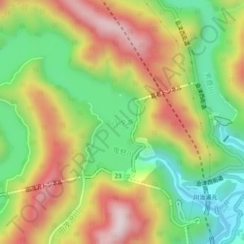
Name: 八汐湖 topographic map, elevation, terrain.
Location: 八汐湖, 日光市, 栃木県, 日本 (36.89210 139.65935 36.91333 139.69392)
Average elevation: 706 m
Minimum elevation: 469 m
Maximum elevation: 984 m
Other topographic maps
Click on a map to view its topography, its elevation and its terrain.