
川治ダム topographic map
Interactive map
Click on the map to display elevation.
About this map
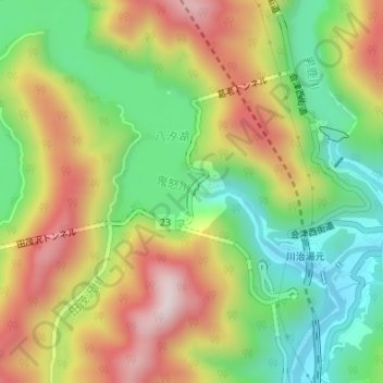
Name: 川治ダム topographic map, elevation, terrain.
Location: 川治ダム, 日光市, 栃木県, 日本 (36.89760 139.69246 36.89990 139.69430)
Average elevation: 700 m
Minimum elevation: 469 m
Maximum elevation: 984 m
Other topographic maps
Click on a map to view its topography, its elevation and its terrain.