
湯西川 topographic map
Interactive map
Click on the map to display elevation.
About this map
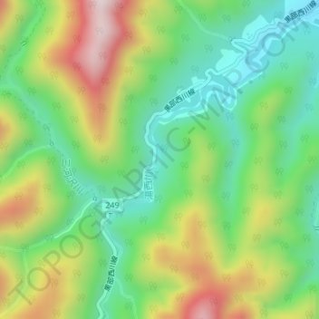
Name: 湯西川 topographic map, elevation, terrain.
Location: 湯西川, 日光市, 栃木県, 日本 (36.94869 139.56423 36.94987 139.56441)
Average elevation: 964 m
Minimum elevation: 748 m
Maximum elevation: 1,311 m
Other topographic maps
Click on a map to view its topography, its elevation and its terrain.