
男鹿川 topographic map
Interactive map
Click on the map to display elevation.
About this map
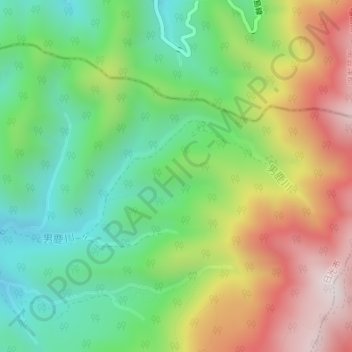
Name: 男鹿川 topographic map, elevation, terrain.
Location: 男鹿川, 日光市, 栃木県, 3212801, 日本 (37.07613 139.79276 37.08514 139.81512)
Average elevation: 1,257 m
Minimum elevation: 944 m
Maximum elevation: 1,720 m
Other topographic maps
Click on a map to view its topography, its elevation and its terrain.