
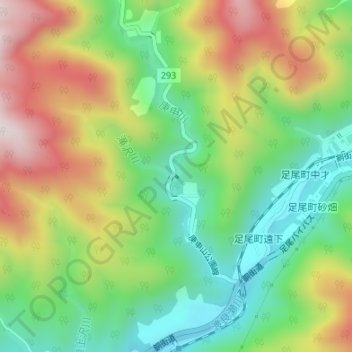
庚申ダム topographic map
Interactive map
Click on the map to display elevation.
About this map
Name: 庚申ダム topographic map, elevation, terrain.
Location: 庚申ダム, 日光市, 栃木県, 日本 (36.63075 139.42054 36.63101 139.42090)
Average elevation: 802 m
Minimum elevation: 569 m
Maximum elevation: 1,126 m
Other topographic maps
Click on a map to view its topography, its elevation and its terrain.