
高原山 topographic map
Interactive map
Click on the map to display elevation.
About this map
Name: 高原山 topographic map, elevation, terrain.
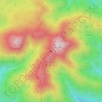
Location: 高原山, 日光市, 栃木県, 日本 (36.89829 139.77383 36.89839 139.77393)
Average elevation: 1,462 m
Minimum elevation: 1,138 m
Maximum elevation: 1,770 m
全体としては馬蹄形のカルデラ地形を基にした複雑な山容を持つ。鬼怒川と箒川に挟まれ、男体山、女峰山などの日光連山と大佐飛山、男鹿岳などの下野山地の間に位置する。
Other topographic maps
Click on a map to view its topography, its elevation and its terrain.