
諏訪山 topographic map
Interactive map
Click on the map to display elevation.
About this map
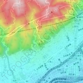
Name: 諏訪山 topographic map, elevation, terrain.
Location: 諏訪山, 神戸市, 兵庫県, 650-0007, 日本 (34.69759 135.18045 34.69769 135.18055)
Average elevation: 116 m
Minimum elevation: -4 m
Maximum elevation: 343 m
Other topographic maps
Click on a map to view its topography, its elevation and its terrain.