
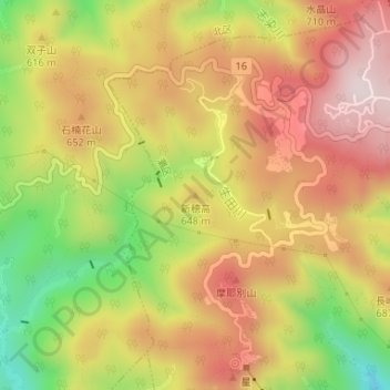
新穂高 topographic map
Interactive map
Click on the map to display elevation.
About this map
Name: 新穂高 topographic map, elevation, terrain.
Location: 新穂高, 神戸市, 兵庫県, 657-0804, 日本 (34.74551 135.20166 34.74561 135.20176)
Average elevation: 575 m
Minimum elevation: 294 m
Maximum elevation: 794 m
新穂高(しんほたか)は兵庫県神戸市灘区六甲山町にある六甲山系の標高648mの山。
Other topographic maps
Click on a map to view its topography, its elevation and its terrain.