
摩耶山 topographic map
Interactive map
Click on the map to display elevation.
About this map
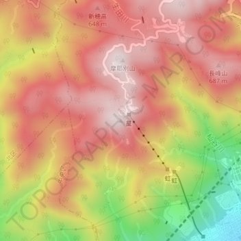
Name: 摩耶山 topographic map, elevation, terrain.
Location: 摩耶山, 神戸市, 兵庫県, 657-0804, 日本 (34.73293 135.20483 34.73303 135.20493)
Average elevation: 469 m
Minimum elevation: 87 m
Maximum elevation: 693 m
Other topographic maps
Click on a map to view its topography, its elevation and its terrain.