
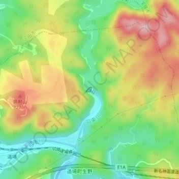
千苅ダム topographic map
Interactive map
Click on the map to display elevation.
About this map
Name: 千苅ダム topographic map, elevation, terrain.
Location: 千苅ダム, 北区, 神戸市, 兵庫県, 日本 (34.87608 135.26951 34.87679 135.27046)
Average elevation: 228 m
Minimum elevation: 127 m
Maximum elevation: 348 m
Other topographic maps
Click on a map to view its topography, its elevation and its terrain.