
西区 topographic map
Interactive map
Click on the map to display elevation.
About this map
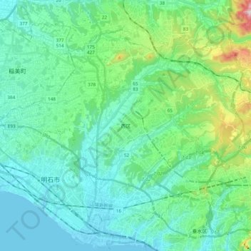
Name: 西区 topographic map, elevation, terrain.
Location: 西区, 神戸市, 兵庫県, 日本 (34.65691 134.91002 34.77567 135.09899)
Average elevation: 84 m
Minimum elevation: -2 m
Maximum elevation: 445 m
Other topographic maps
Click on a map to view its topography, its elevation and its terrain.