
永井谷川 topographic map
Interactive map
Click on the map to display elevation.
About this map
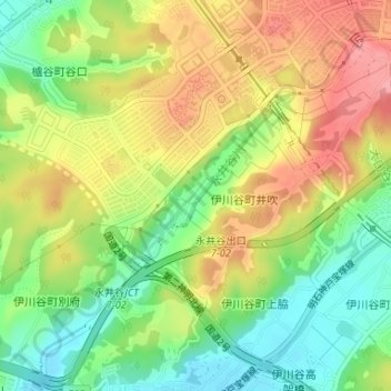
Name: 永井谷川 topographic map, elevation, terrain.
Location: 永井谷川, 西区, 神戸市, 兵庫県, 651-2242, 日本 (34.68254 135.01942 34.69767 135.03532)
Average elevation: 76 m
Minimum elevation: 28 m
Maximum elevation: 127 m
Other topographic maps
Click on a map to view its topography, its elevation and its terrain.