
新湊川 topographic map
Interactive map
Click on the map to display elevation.
About this map
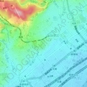
Name: 新湊川 topographic map, elevation, terrain.
Location: 新湊川, 湊川町九丁目, 兵庫区, 神戸市, 兵庫県, 653-0882, 日本 (34.67590 135.15615 34.68134 135.15955)
Average elevation: 38 m
Minimum elevation: -3 m
Maximum elevation: 182 m
Other topographic maps
Click on a map to view its topography, its elevation and its terrain.