
石井川 topographic map
Interactive map
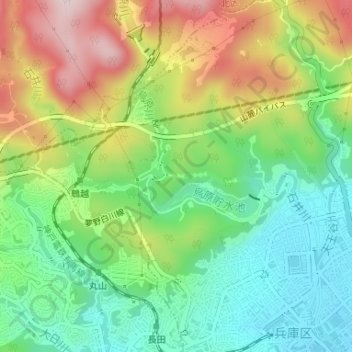
Click on the map to display elevation.
About this map
Name: 石井川 topographic map, elevation, terrain.
Location: 石井川, 烏原町, 兵庫区, 神戸市, 兵庫県, 652-0051, 日本 (34.69315 135.15074 34.69325 135.15240)
Average elevation: 142 m
Minimum elevation: 13 m
Maximum elevation: 337 m
Other topographic maps
Click on a map to view its topography, its elevation and its terrain.