
中央区 topographic map
Interactive map
Click on the map to display elevation.
About this map
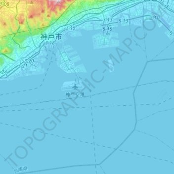
Name: 中央区 topographic map, elevation, terrain.
Location: 中央区, 神戸市, 兵庫県, 日本 (34.53344 135.14983 34.73476 135.31436)
Average elevation: 42 m
Minimum elevation: -6 m
Maximum elevation: 685 m
Other topographic maps
Click on a map to view its topography, its elevation and its terrain.