
室谷川 topographic map
Interactive map
Click on the map to display elevation.
About this map
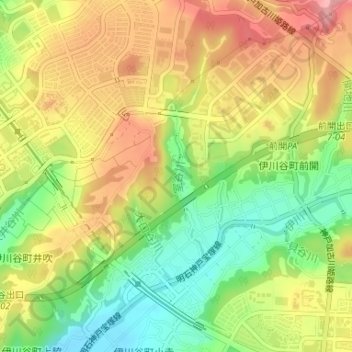
Name: 室谷川 topographic map, elevation, terrain.
Location: 室谷川, 西区, 神戸市, 兵庫県, 651-2242, 日本 (34.68955 135.04459 34.70269 135.04757)
Average elevation: 92 m
Minimum elevation: 35 m
Maximum elevation: 145 m
Other topographic maps
Click on a map to view its topography, its elevation and its terrain.