
布引貯水池 topographic map
Interactive map
Click on the map to display elevation.
About this map
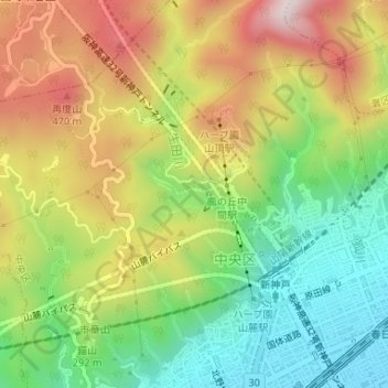
Name: 布引貯水池 topographic map, elevation, terrain.
Location: 布引貯水池, 加納町一丁目, 中央区, 神戸市, 兵庫県, 日本 (34.71048 135.18517 34.71307 135.19014)
Average elevation: 244 m
Minimum elevation: 13 m
Maximum elevation: 533 m
Other topographic maps
Click on a map to view its topography, its elevation and its terrain.