
灘区 topographic map
Interactive map
Click on the map to display elevation.
About this map
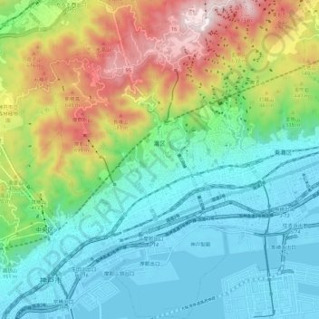
Name: 灘区 topographic map, elevation, terrain.
Location: 灘区, 神戸市, 兵庫県, 日本 (34.68220 135.19435 34.77131 135.26208)
Average elevation: 266 m
Minimum elevation: -13 m
Maximum elevation: 884 m
Other topographic maps
Click on a map to view its topography, its elevation and its terrain.