
一ノ倉岳 topographic map
Interactive map
Click on the map to display elevation.
About this map
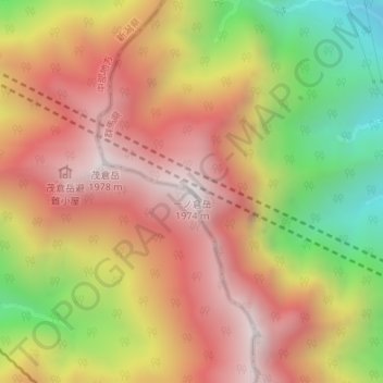
Name: 一ノ倉岳 topographic map, elevation, terrain.
Location: 一ノ倉岳, みなかみ町, 利根郡, 群馬県, 日本 (36.84706 138.92432 36.84716 138.92442)
Average elevation: 1,487 m
Minimum elevation: 844 m
Maximum elevation: 1,970 m
Other topographic maps
Click on a map to view its topography, its elevation and its terrain.