
藤原ダム topographic map
Interactive map
Click on the map to display elevation.
About this map
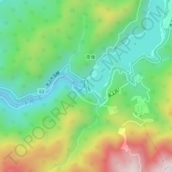
Name: 藤原ダム topographic map, elevation, terrain.
Location: 藤原ダム, みなかみ町, 利根郡, 群馬県, 日本 (36.80338 139.03612 36.80523 139.03710)
Average elevation: 820 m
Minimum elevation: 570 m
Maximum elevation: 1,267 m
Other topographic maps
Click on a map to view its topography, its elevation and its terrain.