
洞元湖 topographic map
Interactive map
Click on the map to display elevation.
About this map
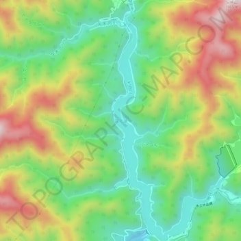
Name: 洞元湖 topographic map, elevation, terrain.
Location: 洞元湖, みなかみ町, 利根郡, 群馬県, 日本 (36.86680 139.05249 36.91099 139.07792)
Average elevation: 963 m
Minimum elevation: 683 m
Maximum elevation: 1,367 m
Other topographic maps
Click on a map to view its topography, its elevation and its terrain.