
奈良俣ダム topographic map
Interactive map
Click on the map to display elevation.
About this map
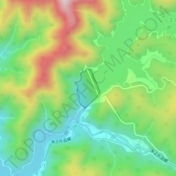
Name: 奈良俣ダム topographic map, elevation, terrain.
Location: 奈良俣ダム, みなかみ町, 利根郡, 群馬県, 日本 (36.87852 139.07612 36.88450 139.08102)
Average elevation: 913 m
Minimum elevation: 735 m
Maximum elevation: 1,214 m
Other topographic maps
Click on a map to view its topography, its elevation and its terrain.