
相俣ダム topographic map
Interactive map
Click on the map to display elevation.
About this map
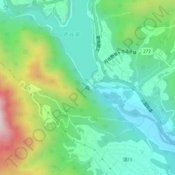
Name: 相俣ダム topographic map, elevation, terrain.
Location: 相俣ダム, みなかみ町, 利根郡, 群馬県, 日本 (36.71212 138.89249 36.71274 138.89314)
Average elevation: 657 m
Minimum elevation: 481 m
Maximum elevation: 1,078 m
Other topographic maps
Click on a map to view its topography, its elevation and its terrain.