
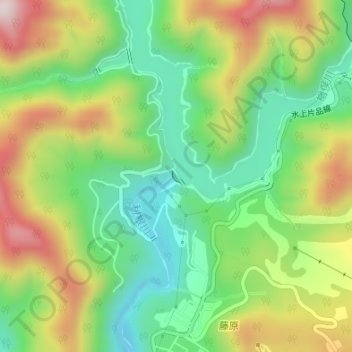
須田貝ダム topographic map
Interactive map
Click on the map to display elevation.
About this map
Name: 須田貝ダム topographic map, elevation, terrain.
Location: 須田貝ダム, みなかみ町, 利根郡, 群馬県, 日本 (36.86791 139.06010 36.86922 139.06119)
Average elevation: 858 m
Minimum elevation: 667 m
Maximum elevation: 1,134 m
Other topographic maps
Click on a map to view its topography, its elevation and its terrain.